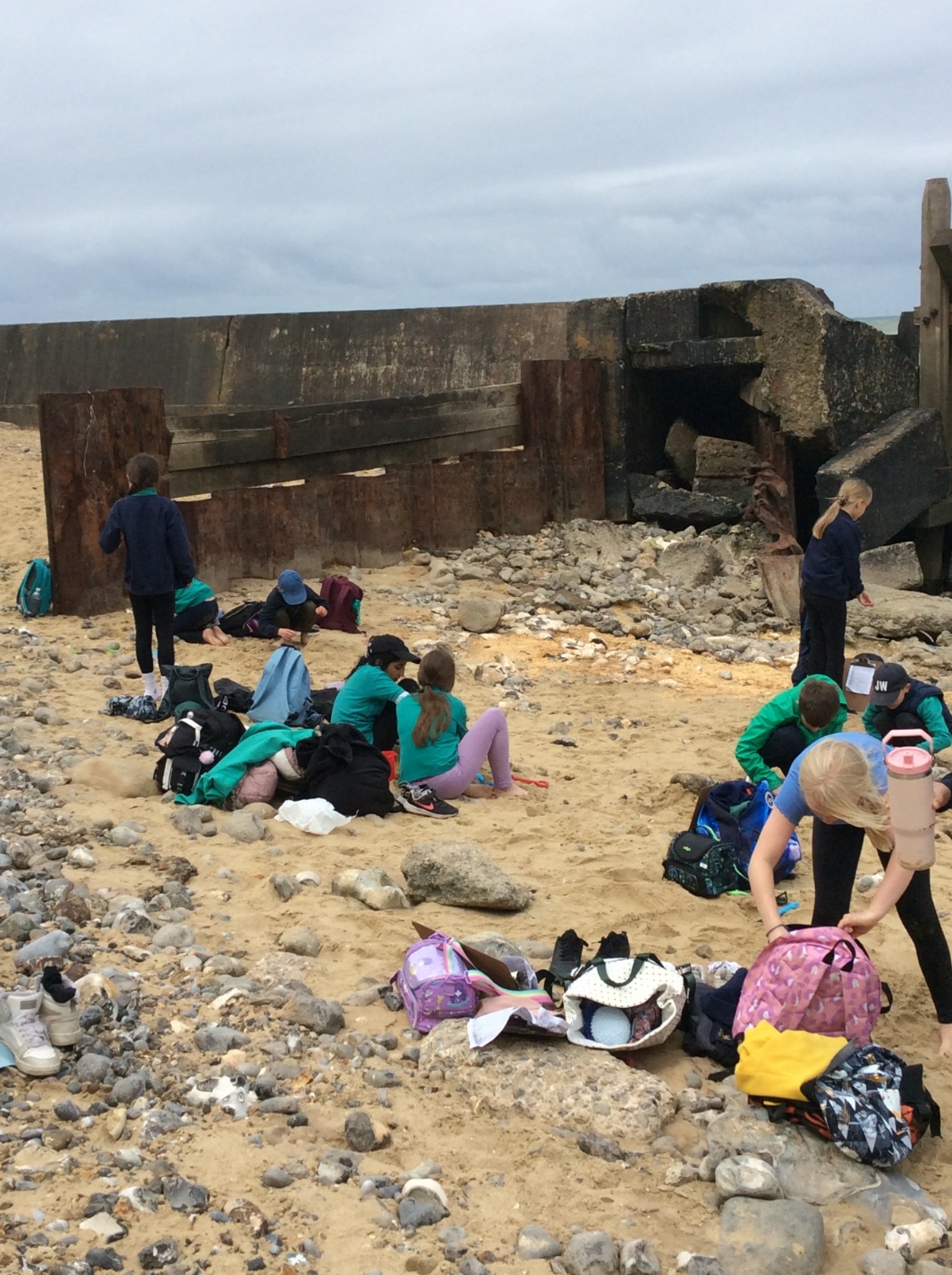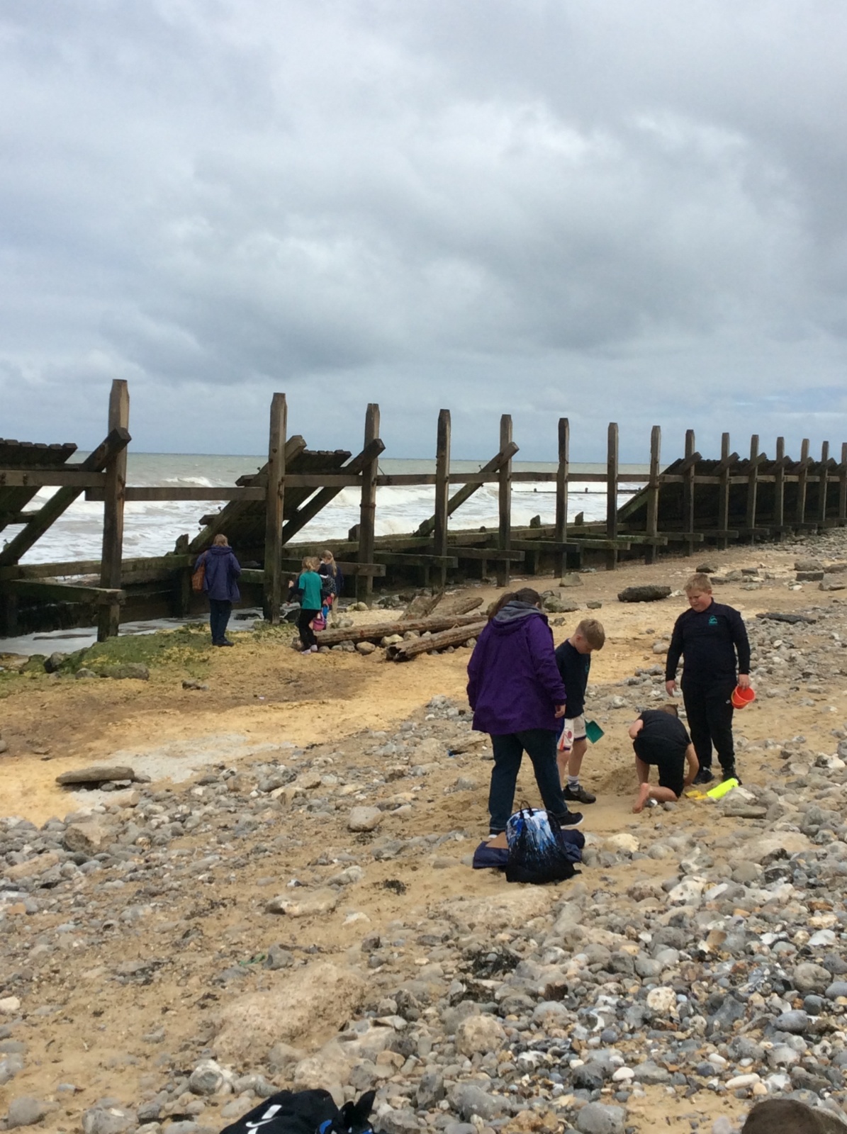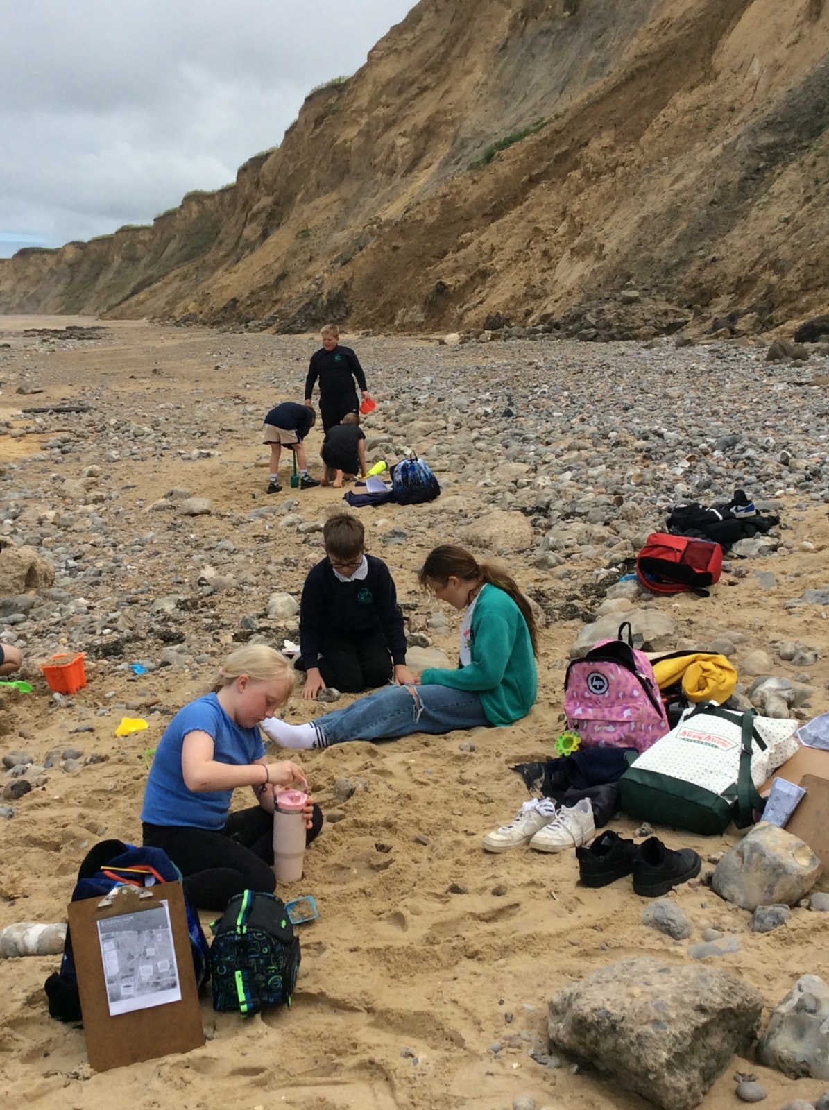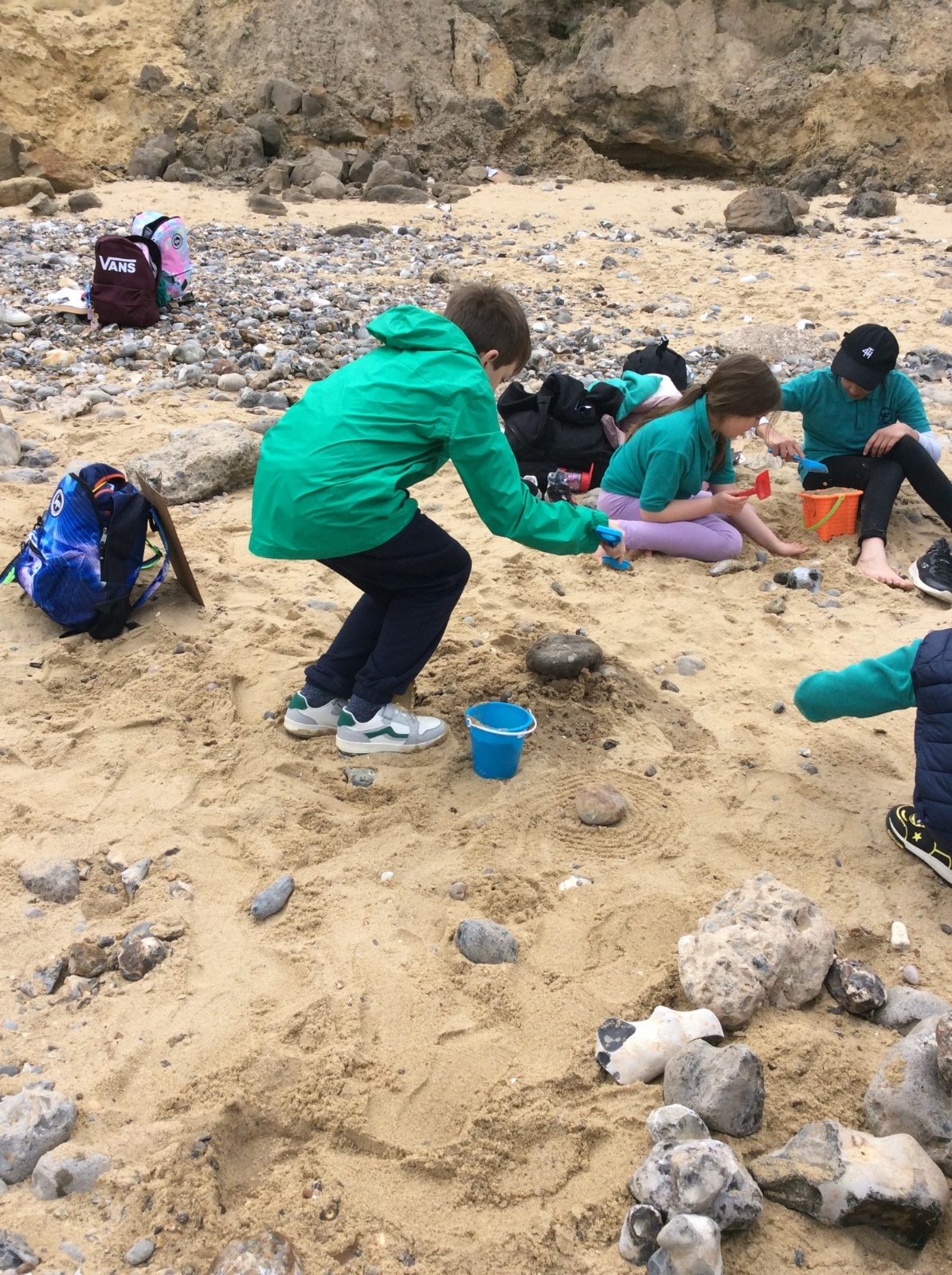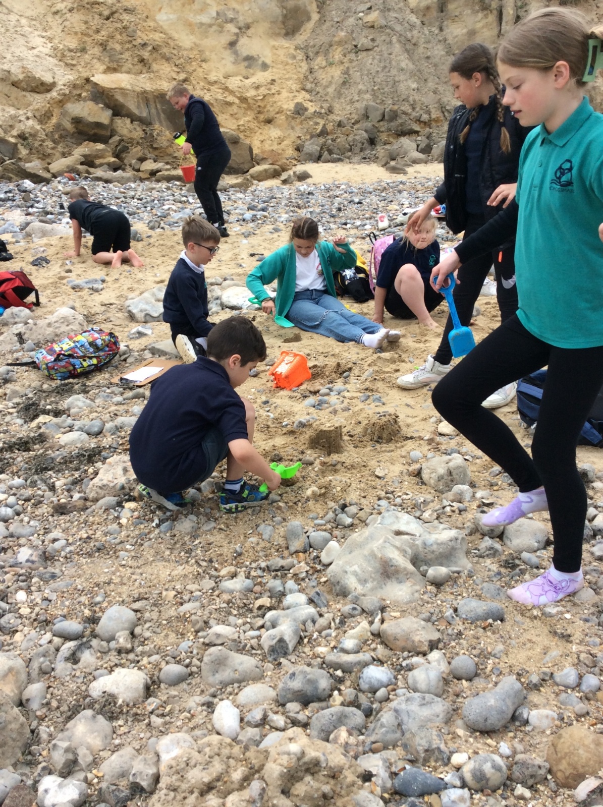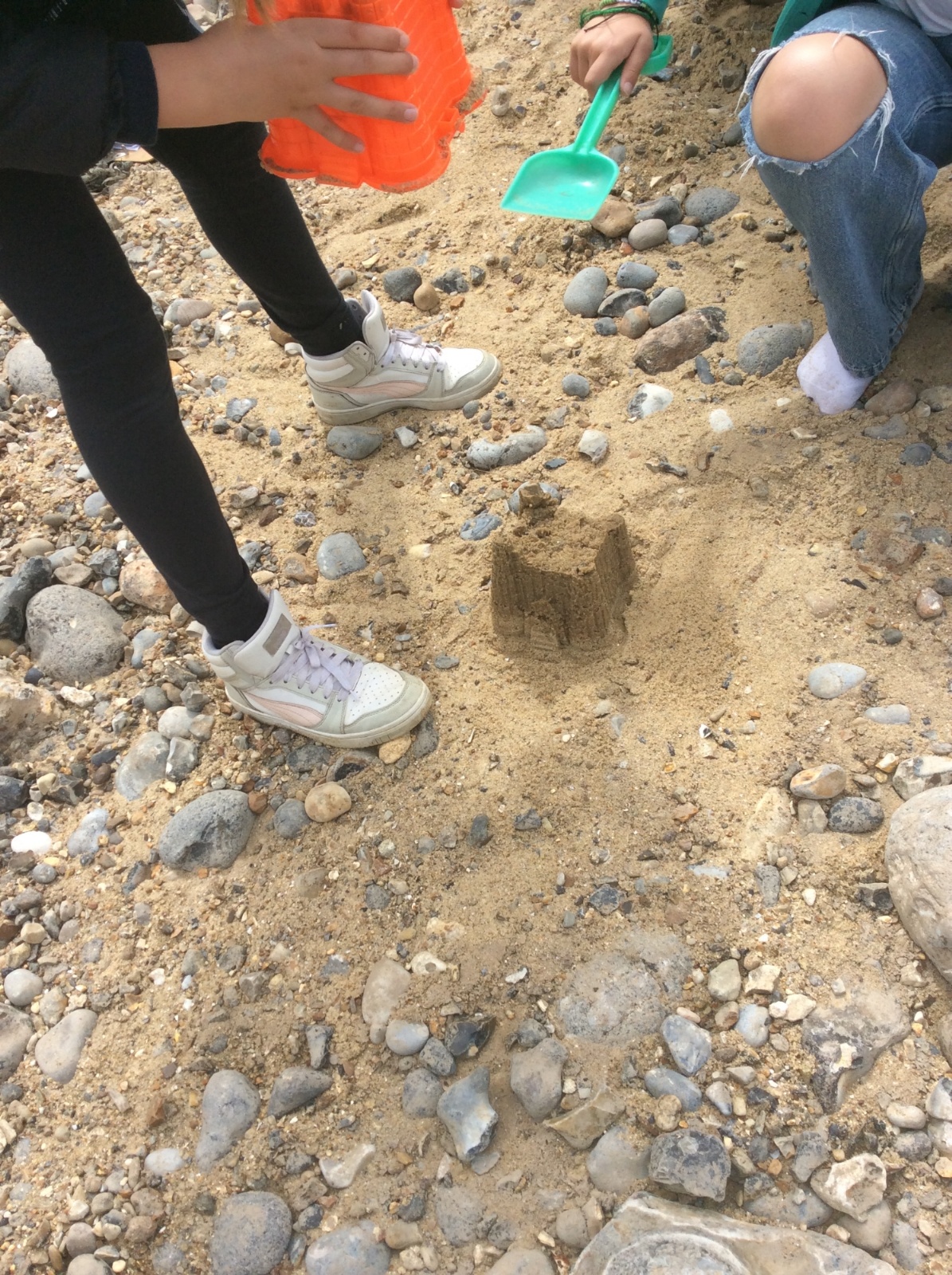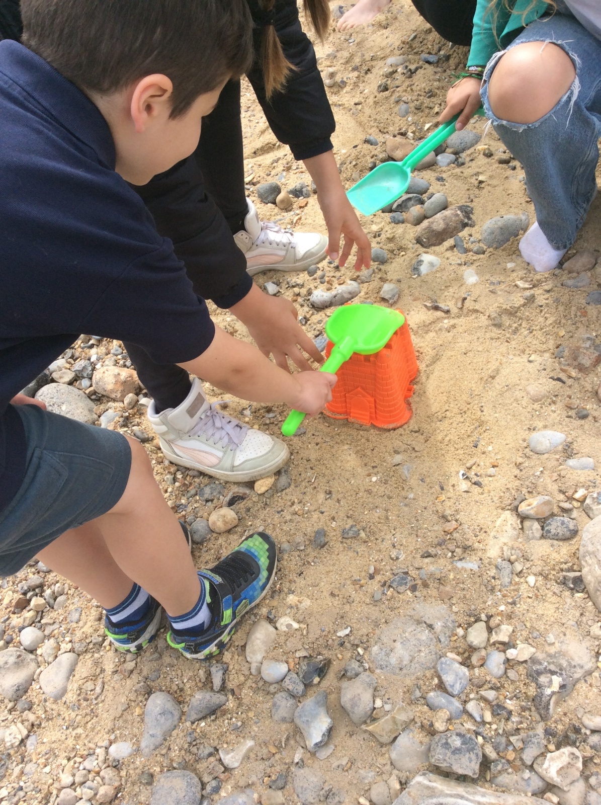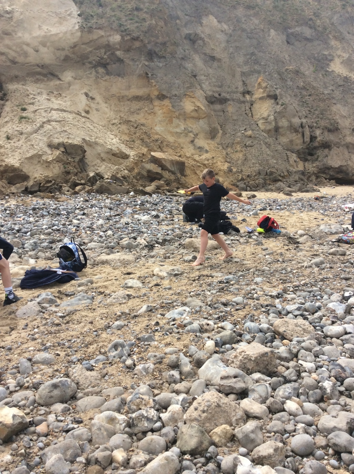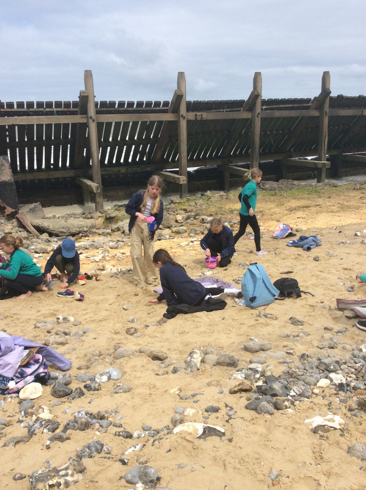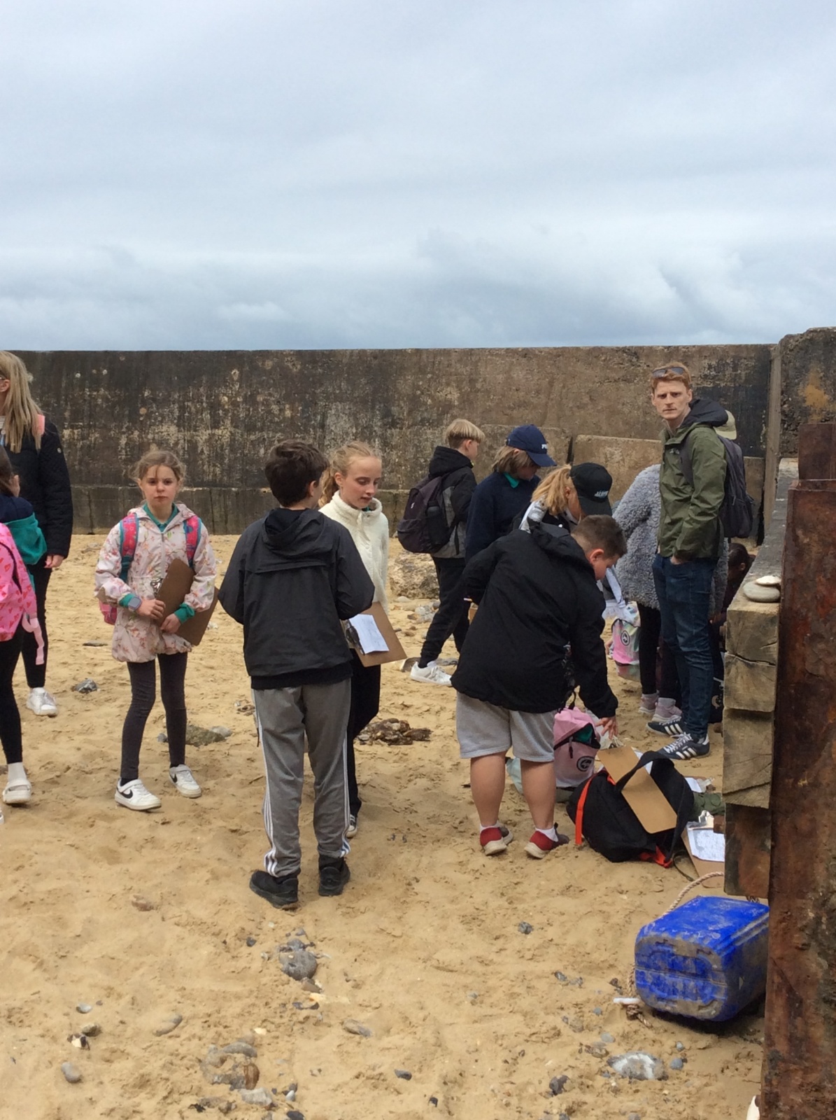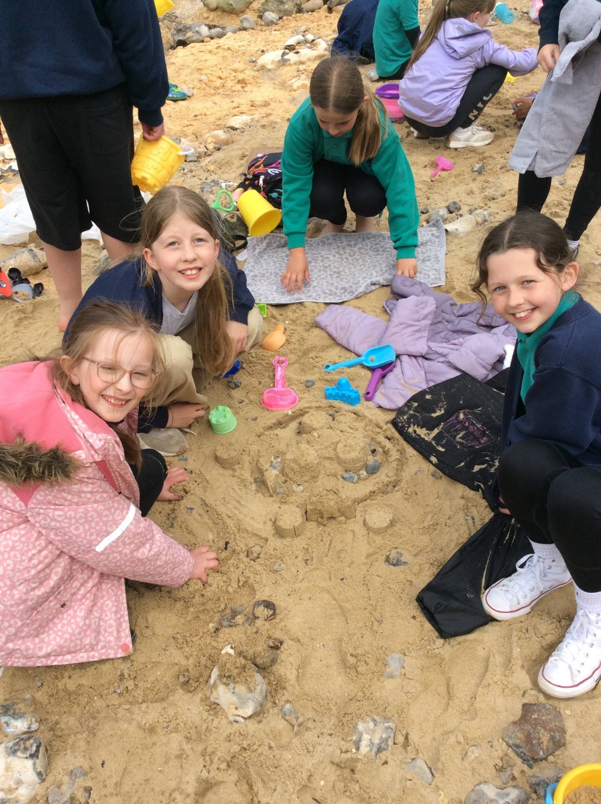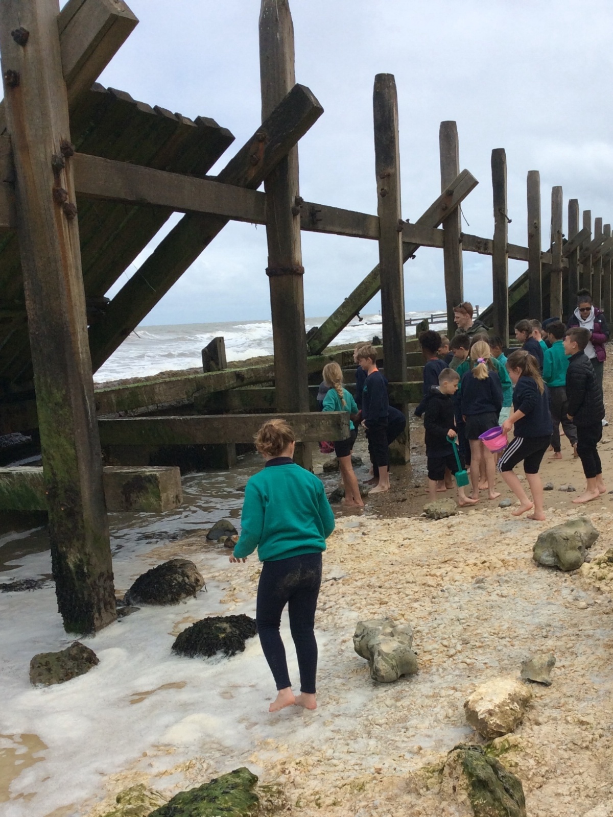


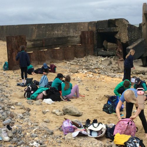
As part of Year Five geography studies, the children surveyed land use, created observational sketches of the river and sea, and investigated the similarities and differences between the two areas.
A key focus of their research was understanding how people are kept safe near the water and exploring the strategies in both St. Neots and Sheringham use to reduce the risks of flooding and erosion.
 IMG0669.JPG2519
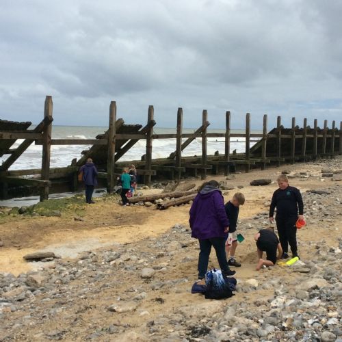 IMG06682.JPG2518
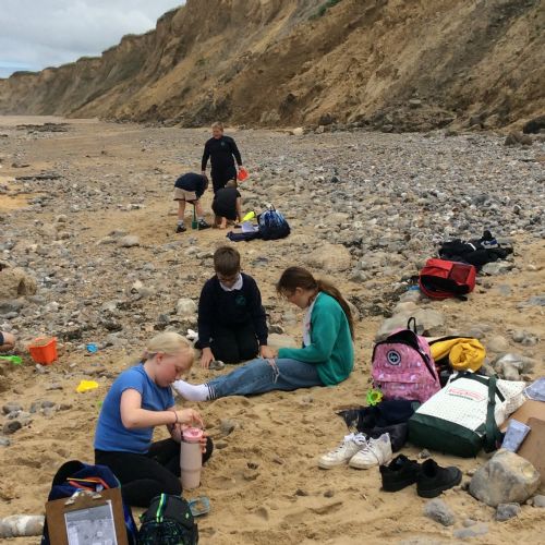 IMG06672.JPG2517
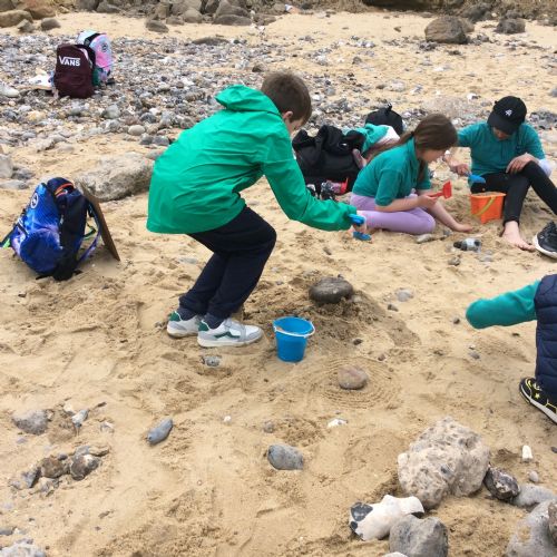 IMG06612.JPG2516
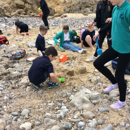 IMG06592.JPG2515
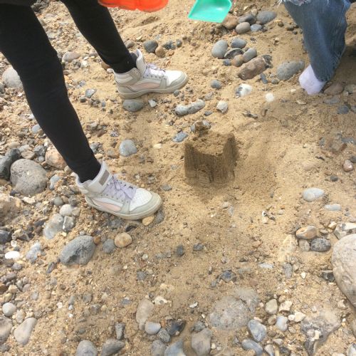 IMG06572.JPG2514
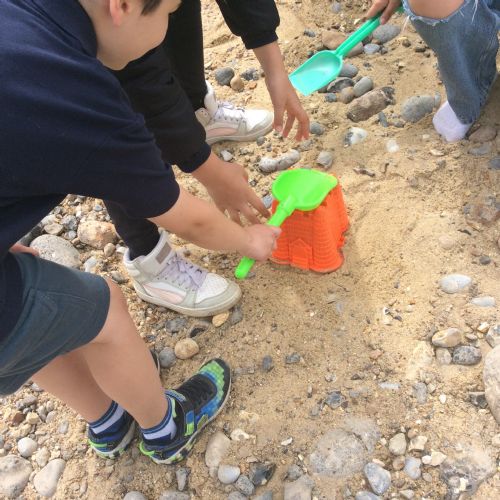 IMG06562.JPG2513
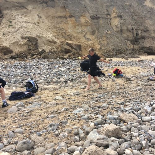 IMG06542.JPG2512
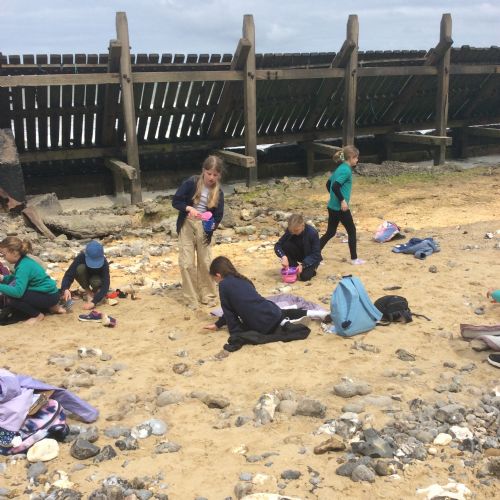 IMG06482.JPG2511
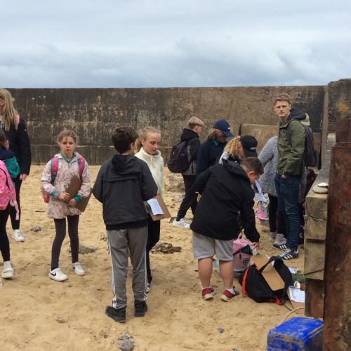 IMG0671.JPG2520
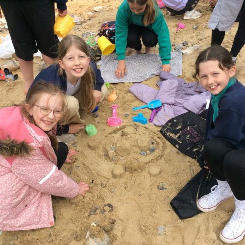 IMG06752.JPG2521
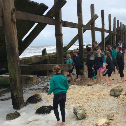 IMG06762.jpg2522